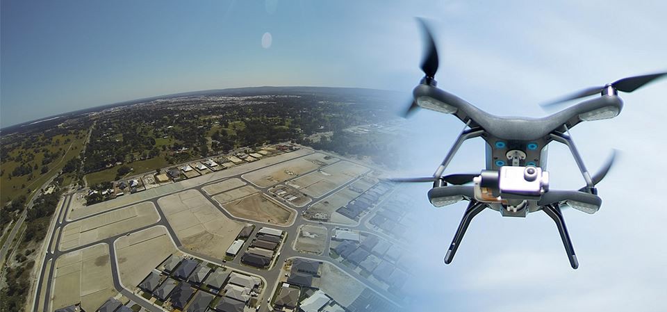
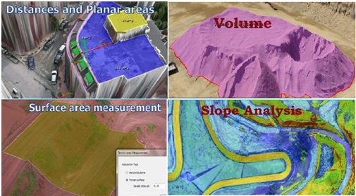
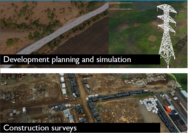
The UAV is an acronym for Unmanned Aerial Vehicle, which is an aircraft with no pilot on board. UAVs can be remote controlled aircraft (e.g. flown by a pilot at a ground control station) or can fly autonomously based on pre-programmed flight plans or more complex dynamic automation systems.


UAV Process

Our UAV mapping platforms are a fast and accurate method to collect aerial data that will enable you to take informed and targeted action.


Uses

It is used to gather data for any area that needs to calculate accurate distances, volume measurement, slope analysis, best path analysis, etc. It is very useful in areas where traditional survey methods using total station are not possible. 

UAV SURVEY
Toyo GeoTech Pvt. Ltd.(Formerly Toyo Computers Pvt Ltd)
Close Search Window