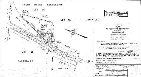
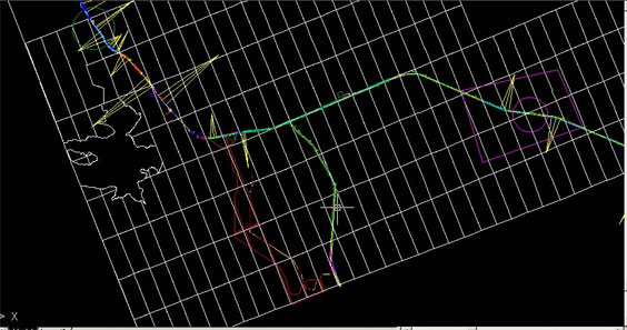
COGO (Coordinate Geometry) Mapping
Several kilometers of highway data of Ontario, Canada was captured from COGO drawings. Distances were provided in the form of “length@angle” on the plans. The work involved total new capture of the data from these maps accurately, followed by georeferencing this new data.


Toyo
Quick Links
Toyo GeoTech Pvt. Ltd. (Formerly Toyo Computers Pvt. Ltd.)
EL-125, Electronics Zone, MIDC, Mahape, Navi Mumbai, 400710 INDIA
info@toyogeotech.com
+91-70455 74744